Q is for Quimper in the Blogging from A to Z Challange.
I live on the Quimper Peninsula in Jefferson County, Washington, USA. The Quimper Peninsula is a small peninsula jutting up from the northeastern corner of the Olympic Peninsula. So, a peninsula attached to a bigger peninsula.
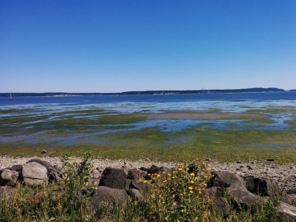
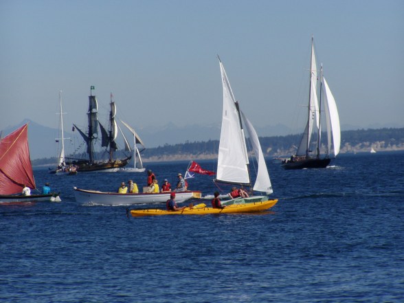
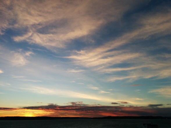
We are surrounded by water. When I first moved here I was confused. I am from the east coast of the US. So, the ocean was to the east. Here on the west coast it is west: except that where I live, the Salish Sea is north and east and south. The Quimper Peninsula runs southwest to northeast and ends at a lighthouse. I can stand on the beach at the lighthouse and look over the Salish Sea and see mountains. It took me a while to get oriented, because I can see the Olympic Mountains looking over the water or the Cascades: Mount Baker, Glacier, Tahoma.
The Quimper Peninsula is named after Manuel Quimper, a Peruvian born Spanish explorer and cartographer. He contributed to the charting of the Strait of Juan de Fuca in the late 1700s. Until I wrote this post, I had not read about him.
Our thin rural phone book for Port Townsend and Port Ludlow lists five Quimper named businesses:
The Quimper Inn, a bed and breakfast. Our town had a boom in the 1860s-1880s and the architecture is still here. There are wonderful old houses and downtown.
Quimper Mercantile, a community started and owned store.
Quimper Sound, a quite fabulous local music store, albums and CDs.
Quimper Unitarian Universalist Fellowship, a church.
And lastly: Quimper Family Medicine, my family practice clinic!